Please follow this link.

Maps
News Alert Board of Health
The Custer County Board of Health is Publishing Minutes on the Custer County "Published Minutes" Page. Click here to find all published minutes for County Boards. Read more
News Alert
News Alert Custer County Internet Speed Test
Custer County is conducting a test of internet speeds. Read more
News Alert
News Alert Custer County Has a New Webpage!!
Custer County has a new webpage!!! Visit CusterCounty-Co.Gov Read more
News Alert
The Custer County Building is open to the public by appointment only.
Please call the respective department or office to schedule an appointment for service.

A Stage II fire ban is currently in effect for public and private land within Custer County
Please visit the Sheriff's Website for further information
County Seal Scenic Picture   Colorado State Flag

Maps
Maps are in PDF or JPG format. These may take a few minutes to open depending your connection speed.
It is recommended that you right click on the map title or map image and click "Save Target as" or "Save Link as".
Most of these maps are available in larger sizes up to 36" x 60" for a nominal cost. Please contact the GIS Department at gis_support@custercountygov.com or stop in at the Zoning Office.
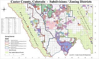
Subdivisions and Zoning Map (JPG) (5.08MB)

Subdivision/Zoning Map

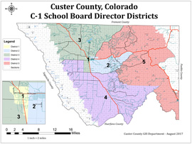
C-1 School District Map (PDF) (1.9MB)

School District Map

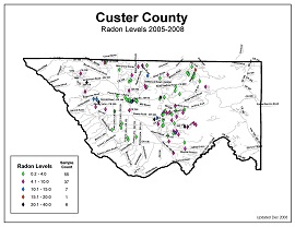
Radon Levels 2005-2008 Map (PDF) (0.2MB)

Radon Levels

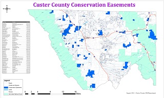
Conservation Easement Map (PDF) (1.59MB)

Conservation Easement Map

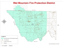
Wet Mountain Valley Fire Protection District Map (PDF) (1.44MB)

Fire District Map

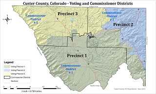
Custer County Voting & Commissioner Districts Map (PDF)  (1.61MB)
 

Voting/Commissioner Districts Map


Copyright © 2019 County of Custer, Colorado | 205 South 6th Street | Westcliffe, Colorado 81252 | Contact Us | Home